 Guide to the Azores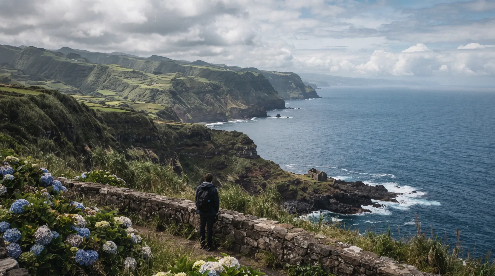
Nordeste, São Miguel: The Free East, Viewpoint By Viewpoint
The Nordeste azores keyword promises the island's wild east, and the official record backs it with numbers better than adjectives: a string of free miradouros, a park that is always open, and one 12 km summit trail. a string of free clifftop miradouros filed by name on the regional parks network, a waterfall park at Achada that the regional tourism portal calls always open with free entry, and one difficult trail, Pico da Vara, that needs a permit form before you set foot on it. This guide covers the east as it is actually filed, viewpoint by viewpoint, and marks every claim the official pages do not back. For the island's other halves, start at things to do in the Azores, and the Guide to the Azores is the site's front door.
Quick answer Nordeste's sights are free and un-ticketed, and the only thing you must arrange ahead is the Pico da Vara permit form.
Nordeste's sights are free and un-ticketed, and the one exception is a 12 km summit trail. The parks network lists Miradouro de Santa Iria, Ponta do Sossego and Tronqueira by name with verified pages, Salto do Cavalo and Ponta da Madrugada appear on the official POI list, and the Ribeira dos Caldeirões park at Achada is stated by the regional tourism portal to be always open with free entry. The exception is the Pico da Vara trail, difficult, about 6h, where access is conditioned on an official form at trails.visitazores.com.
Key takeaways
- The Nordeste day trip with lunch bundles the whole viewpoint run for car-free travellers at $82.65 for 8 hours.
- The east pairs naturally with Furnas on the same loop, so read the Furnas guide before you route the day.
- For the summit day, the Azores hikes guide covers the grading and the permit logic.
- A rental car is the practical way in, so price the east against the car rental guide first.
Key facts
Opening hours
| Viewpoints and the Ribeira dos Caldeirões park: open ground, the park is always open with free entry per the regional tourism portal | 00:00–23:59 |
|---|
Admission
- Adult
- Free. No fee appears anywhere on the parks network for the Nordeste viewpoints, and the regional tourism portal states the waterfall park's entry is free
- Free
- Miradouro de Santa Iria, Ponta do Sossego, Tronqueira, Salto do Cavalo, Ponta da Madrugada and the Ribeira dos Caldeirões park
Planning it
- Time needed
- Not published for any Nordeste sight except the Pico da Vara trail, whose official figure is 6h for 12 km
- Address
- Nordeste, São Miguel
The rows below set the free official ground, taken from the regional parks network and the tourism portal, against the two guided east days priced on the platform this site compares. No viewpoint, park or trailhead in Nordeste charges a fee on any page this guide could read, and that is the finding.
In Nordeste almost nothing is ticketed, so the real question is what you pay for: transport, a guide's lunch, or neither.
| Option | Price | Includes | Booking | Book |
|---|---|---|---|---|
| Viewpoints and the waterfall parkAnyone with a car or a tour, no ticket exists | Free | Santa Iria, Ponta do Sossego, Tronqueira, the Achada waterfall park and its car park and toilets, always open per the tourism portal | Nothing to book | Official site |
| Pico da Vara trail accessHikers set on the island's roof, who must request access in advance | Free, permit form required | 12 km, difficult, about 6h, access conditioned on the official form | Request ahead at trails.visitazores.com | Official site |
| Nordeste, cliffs and waterfall day trip with lunch, 8 hoursCar-free travellers who want the east's cliffs and waterfalls with a guide and lunch | $82.65 | Guided day through the northeast's landscapes, per the listing | Per the platform's policy | Check Availability |
| East van tour: Furnas and Nordeste with lunch, 8 hoursVisitors bundling the east into one day with Furnas and its valley | $97.57 | Small-group van day covering Furnas and Nordeste, per the listing | Per the platform's policy | Check Availability |
The free-entry rows above were re-checked against the parks network and tourism portal in Q3 2026
Guided East Days That Earn Their Price
The east is free to walk but awkward to reach without wheels, and these two days bundle the driving, the guide and lunch into one booking. Prices and ratings are the platform's own.
 from $82.65
Small group
from $82.65
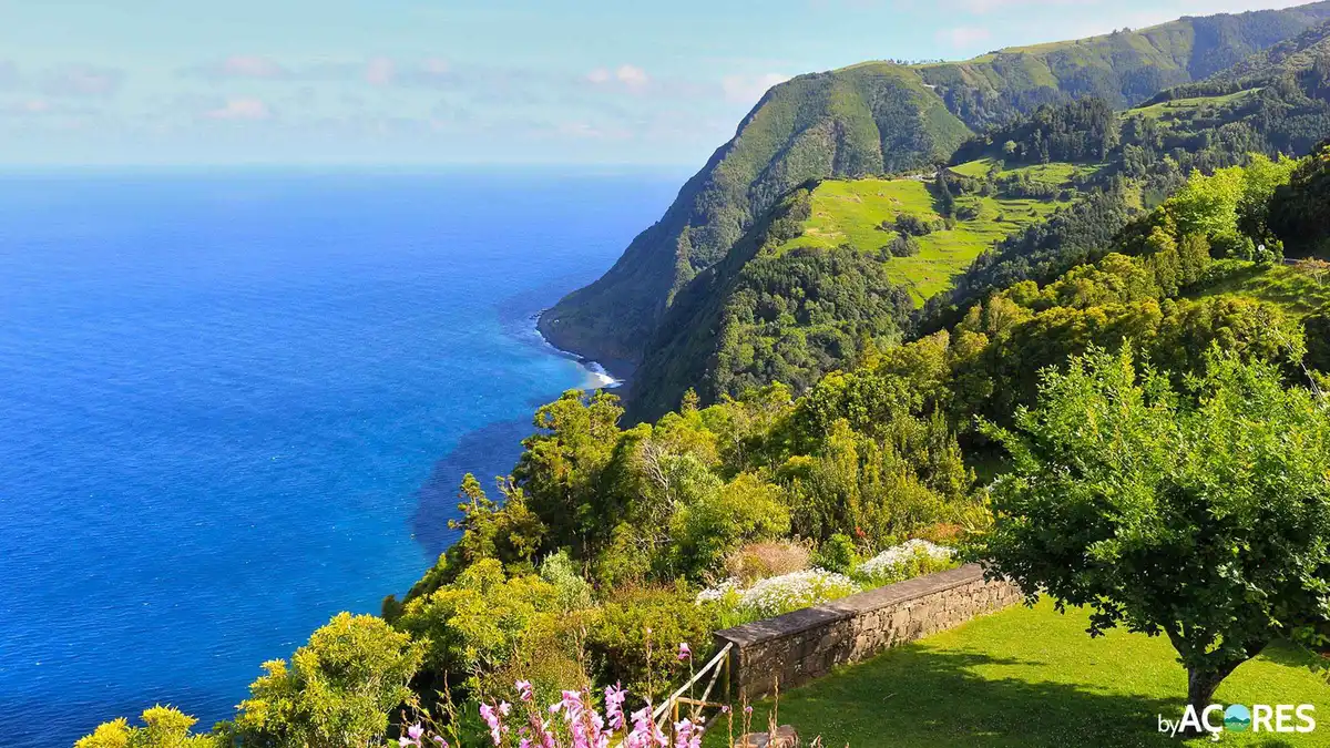
Small group São Miguel: Nordeste, Cliffs & Waterfall Day Trip with Lunch
A full-day run to the Nordeste, the island's oldest geological corner, with cliffs, waterfalls and villages along the way and lunch included. Free pickup covers Ponta Delgada, Lagoa and Ribeira Grande, and groups are capped at eight. Good for travelers who have done Sete Cidades and want the wilder north-east.
Check Availability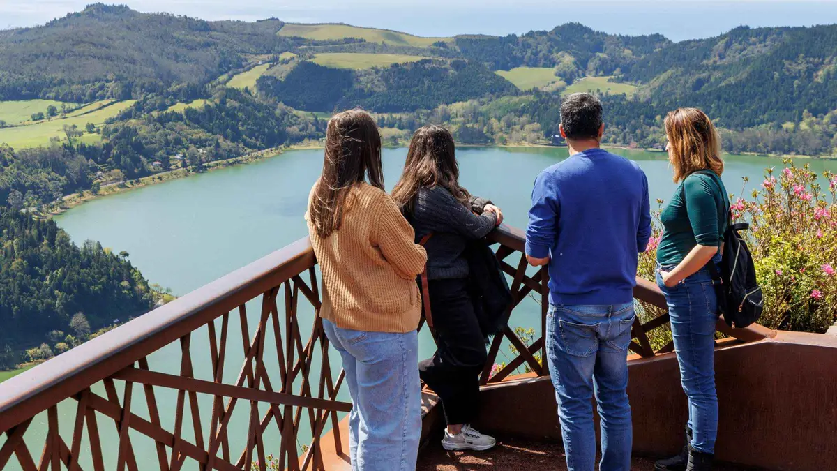 from $97.57
Small group
from $97.57
Small group São Miguel East Van Tour: Furnas & Nordeste + Lunch
A small-group electric-van day on the east side with a maximum of eight guests, covering Furnas' geothermal wonders, an underground-cooked Furnas lunch, and the waterfalls and coastal viewpoints of Nordeste. Short walks only, no hiking required. Good for travelers who want the whole east in one day without a strenuous walking day.
Check AvailabilityPrices, ratings and details are the platform's own. dollar figures are the listed prices — the platform bills in your account's currency.
History Guide: What The East Was For
The parks network files the east's viewpoints as named points of interest, which is a statement about protection and access, not a history lesson. What the individual pages do carry is scenery with a past attached. Miradouro de Santa Iria looks over the north coast past Ponta do Cintrão and Ponta Formosa to the ruins of the Ladeira da Velha spa.
Those ruins sit on the official viewpoint page, and they are the one dateable trace of an older bathing economy on this coast, a place where people once came for the water rather than the view.
The municipality's landscape is the east's real history. Volcanic ridges, pasture and the wettest green on São Miguel shape everything a visitor sees, and the parks network protects that ground rather than narrating it. No official page in this guide's research dates the settlement of Nordeste town, so this guide prints no founding year.
If a source gives you one, it is borrowing from outside the record this page works from.
What the modern record does say is this: Pico da Vara is the island's roof, and its trail is conditioned on a permit form filed at trails.visitazores.com. That makes the east the one district where a public path asks permission, an odd inversion in a corner of the island where every other sight costs nothing and asks nothing. For how the east fits the wider island, see things to do in the Azores.
What To See Guide: The Viewpoint Run And The Waterfall Park
The east breaks into a viewpoint drive and one waterfall park, and each stop below is graded by how much the official record actually verifies.
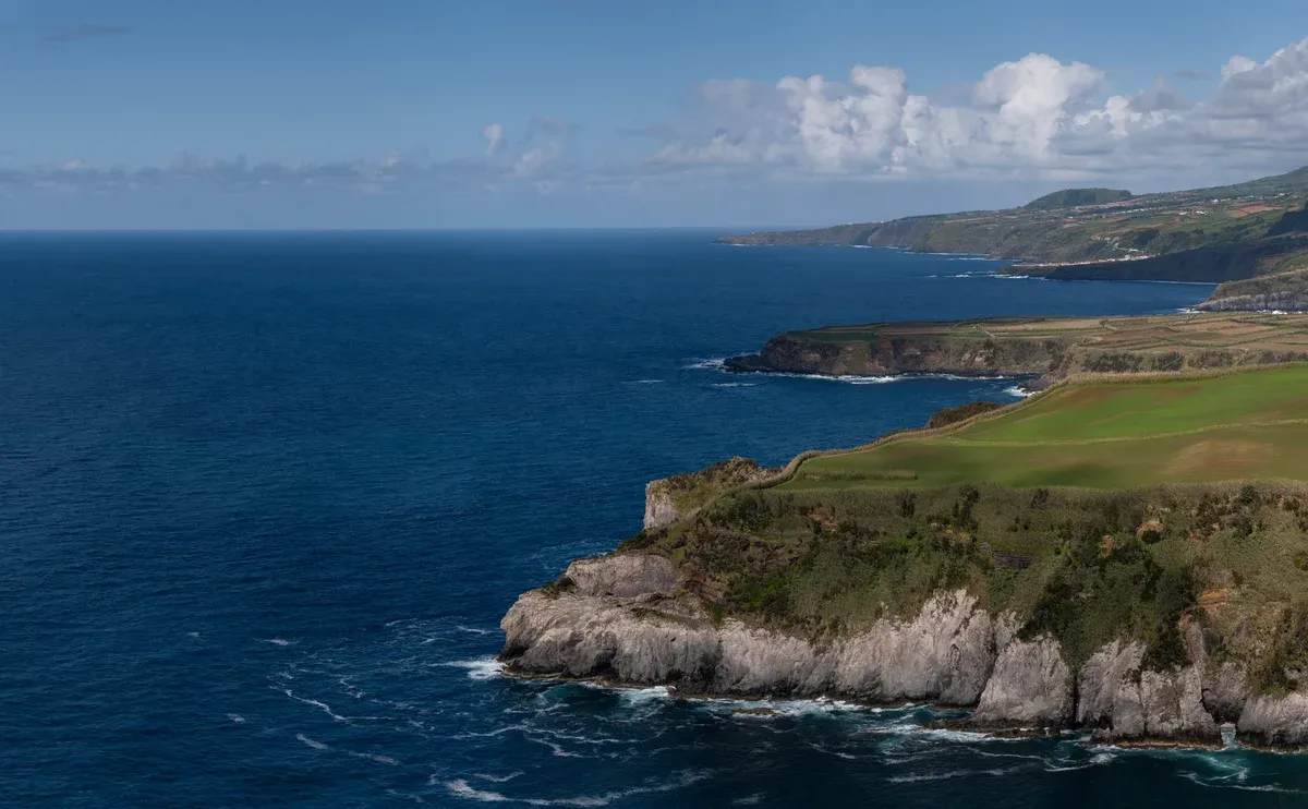
Photo: Jules Verne Times Two, CC BY-SA 4.0, via Wikimedia Commons
Miradouro de Santa Iria
This is the best-documented stop on the run. The verified parks page describes a wide view over the north coast, with Ponta do Cintrão and Ponta Formosa in the frame and the ruins of the Ladeira da Velha spa below. The spa ruin is on the official page, so it is a fact rather than a legend, and it gives the viewpoint a second reason to stop.
The site is free and open ground with no gate, no ticket and no stated hours beyond daylight itself, which is the pattern for every miradouro in Nordeste. Come early and the car park will be empty.
Ribeira dos Caldeirões park at Achada
The regional tourism portal's position is clear: the park is always open and entry is free, with toilets and a car park, and it is partially visitable by people with reduced mobility. That is the whole official package, and it is a strong one. What is not verified is the rest of the internet's story.
The mill houses and the waterfalls are widely reported online, but they appear on no official page this guide could read, so treat those details as unverified. What you can rely on is free access at any hour, facilities on site, and a river valley inside the protected-area network.
Ponta do Sossego and Tronqueira
Both miradouros are on the official POI list with verified titles, which confirms they exist as protected, named points of interest on the parks network. Their individual pages carry no further detail, so this guide prints no descriptions of their gardens or their views beyond what the list itself states. That is a deliberate limit, not a gap in enthusiasm.
What it means in practice is simple: they sit on the same viewpoint road as the rest of the east, they cost nothing, and they are the two stops the official record names most confidently after Santa Iria.
Salto do Cavalo and Ponta da Madrugada
Both are confirmed on the official São Miguel POI list, and both resisted detail fetching behind the parks site's bot protection, so their names are official and their particulars are not. No published description of what each frames, and no official line on facilities, appears in this guide's research. The honest line is still a useful one: they sit on the same drive as the rest of the run, they cost nothing, and they are worth the stop.
That is all the official record supports, and this page will not decorate beyond it.
Hours And Crowds Guide: Open Ground And One Permit
An hours table would be fiction here. The viewpoints and the waterfall park are open ground, with no gates, no ticket offices and no closing announcements anywhere in the official record. The tourism portal's phrase for the Ribeira dos Caldeirões park is that it is always open, and the parks network applies no schedule to any miradouro in the municipality.
The only practical boundary is light: the viewpoints face the ocean over clifftop roads, and you want daylight for the drive.
The one clock in the east is the Pico da Vara permit. The official trail page conditions access on the form at trails.visitazores.com, and the trail itself is graded difficult, 12 km, about 6h. That makes the summit day the only eastern sight you must plan in advance, and the day should be built from the permit backwards: form filed, weather checked, then the long hike given its full six hours with nothing else scheduled around it.
Everything else in Nordeste can be improvised on the day.
Crowds are a pattern, not a statistic, because no counts are published for any eastern sight. The pattern is tour vans running the viewpoint road from midmorning, which means the miradouro car parks are the only bottlenecks in an otherwise gateless district. A Nordeste day that starts early has the miradouros to itself, and by late morning the same stops carry the vans' groups.
The best time to visit guide covers the season logic for the island as a whole.
Directions Guide: Reaching The East
A rental car is the practical way in. The east has no railway, no ferry and no verified tour-free transit story, so wheels decide how much of the viewpoint run you see. State plainly: no official source publishes driving times or distances to any Nordeste sight, so none is printed here.
The road shape is coastal and ridged, and the miradouros string along it with their own car parks, which is why the Azores car rental guide is worth reading before you commit to a self-drive east day.
Car-free visitors should be told the truth early: no bus route into Nordeste could be verified from the official sources this guide uses. The working alternative is the guided east day, which bundles transport, a guide and lunch for $82.65 over 8 hours. If you want to understand the island's transport picture before choosing, read getting around the Azores and the guide to the Azores without a car first.
Base-town logistics are simple. The east day pairs naturally with Furnas on the same side of the island, and the two guided east tours cover both in one loop, so see the Furnas guide for the valley half. Most tours of the east run out of Ponta Delgada, which holds the island's main visitor infrastructure and the two official tourist information points.
If you sleep in the capital, the east is a single long day out rather than a move.
The Viewpoint Table, With Its Verified Sources
The table below lists the east's miradouros exactly as the parks network files them, with the verification status of each. The difference between a verified viewpoint page and a listed name is the difference between a fact and a rumour.
The miradouros as filed
| Viewpoint | Official status | What is verified |
|---|---|---|
| Miradouro de Santa Iria | Verified page | View over the north coast, Ponta do Cintrão, Ponta Formosa, ruins of the Ladeira da Velha spa |
| Miradouro da Ponta do Sossego | Verified title | Listed as a POI, no further official detail published |
| Miradouro da Tronqueira | Verified title | Listed as a POI, no further official detail published |
| Miradouro do Salto do Cavalo | Listed, page unfetched | On the official POI list, details not verified |
| Miradouro da Ponta da Madrugada | Listed, page unfetched | On the official POI list, details not verified |
| Miradouro da Bela Vista | Verified page | Northern slope of the Fogo volcano, view over Ribeira Grande toward the Sete Cidades massif |
Why the verification column matters
The parks site sits behind bot protection, and some viewpoint pages simply could not be read when this guide was compiled. Rather than fill those gaps with copied adjectives, this guide prints the name with an honest status and leaves it there. A viewpoint listed on the official POI list is a real, protected place.
What it looks like, what it frames, and whether it has facilities are separate claims, and each needs its own source. This page would rather hand you a name with an honest status than a decorated sentence borrowed from a blog. The views themselves do not change because a page failed to load.
How Much Time To Give Nordeste
No time-needed figure is published for any eastern sight except Pico da Vara's 6h, so the allowances below are our estimate except where marked. Treat them as routing shapes, not official data.
Three shapes of an east day
| Routing | Allow | What it covers | What it skips | DIY alternative |
|---|---|---|---|---|
| Viewpoint sprint | Half a day (our estimate) | Santa Iria, Ponta do Sossego and the coast road | The waterfall park and Pico da Vara | Free by rental car |
| East day | A full day (our estimate) | The viewpoint run, the Achada waterfall park, a Furnas pairing | Pico da Vara, which needs a permit and 6h | Free, or guided day $82.65 |
| Summit hike | 12 km, about 6h (official trail figures) | Pico da Vara, the island's roof | Everything else that day, the hike takes it | Permit form at trails.visitazores.com |
Pairing with Furnas
The east and Furnas share a side of the island, which is why both guided days bundle them and why a self-drive loop works the same way. Doing it yourself means the Furnas guide for the valley and its fumaroles first, then the coast road north into Nordeste municipality for the miradouro run and the Achada park. The summit hike does not pair with anything, since its official 6h figure consumes the day.
Everyone else can fit the valley and the east into one well-routed circuit.
Timeline
-
Volcanic formation
The Nordeste ridges and the Pico da Vara massif rise on the island's oldest end
parks network protected-area framing for São Miguel. The packs carry no dated geology figure for the east, so no age is printed here
-
Bathing era
A spa works the coast at Ladeira da Velha, whose ruins the Santa Iria viewpoint page records
parquesnaturais.azores.gov.pt, poi 111. No operating dates are published
-
Trail filing
Pico da Vara is filed as an official trail, 12 km, difficult, 6h, access conditioned on the permit form
trails.visitazores.com
-
Park designation
The Ribeira dos Caldeirões park at Achada sits inside the protected-area network with its car park and toilets
turismo.azores.gov.pt
-
Portal statement
The regional tourism portal states the park is always open and entry is free
turismo.azores.gov.pt, wording via search snippet, re-verify on the live page
-
Today
All Nordeste viewpoints remain free of charge, with no fees anywhere in the parks network
checked directly against the parks network
Sources: parquesnaturais.azores.gov.pt POI pages, turismo.azores.gov.pt park entry statement, trails.visitazores.com Pico da Vara page.
Do And Don't
Do
- Start the viewpoint run early, before the tour vans claim the miradouro car parks
- File the Pico da Vara permit form before you plan the summit day
- Use the car park and toilets at the Achada park, which the tourism portal lists
- Pair the east with Furnas on the same loop
- Treat the mill-house stories as unverified and enjoy the waterfalls without the folklore
Don't
- Don't expect tickets or gates, none exist in the east
- Don't promise yourself Pico da Vara without the form, access is conditioned on it
- Don't print mill-house dates or waterfall names as official, no page verifies them
- Don't build the day on a bus, no route could be verified
- Don't turn the verified-viewpoint distinction into doubt about the views, the miradouros are filed and free
Five Things Most Visitors Do Not Know
The short list
- The east's viewpoints are filed like museum exhibits: Santa Iria, Ponta do Sossego, Tronqueira and Bela Vista all have individual pages on the parks network, and every one is free (parquesnaturais.azores.gov.pt).
- The waterfall park's official status is remarkable: the regional tourism portal states the Ribeira dos Caldeirões park is always open and entry is free, with toilets and a car park (turismo.azores.gov.pt).
- The mill houses and their 16th-century dates are NOT verified: they are widely reported online but appear on no official page fetched for this guide (research negative finding).
- Pico da Vara is the island's roof and its trail is 12 km, difficult, about 6h, and access is conditioned on an official form at trails.visitazores.com (trails.visitazores.com).
- Two famous viewpoint names, Salto do Cavalo and Ponta da Madrugada, are confirmed on the official POI list while their individual pages resisted fetching, so their details are officially unverified (parquesnaturais.azores.gov.pt POI list).
Map: The East's Free Ground
Pins are map positions for orientation, not verified survey points.
Next
Ribeira Grande
The north-coast town on the road west from Santa Iria: Ribeira Grande guide.
West along the north coastFAQ
Is the Nordeste worth visiting?
The honest case is structural. It is the one district where every headline sight is free, the viewpoints are individually filed on the parks network, and the waterfall park is stated to be always open with free entry. What the official record does not do is decorate, so come for the ground rather than the folklore. The things to do in the Azores guide shows how the east compares with the island's priced sights, and the comparison favours Nordeste on cost alone.
What to do in the Nordeste, Azores?
The verified list is short and free. Run the viewpoints from Santa Iria along the coast, take in Ponta do Sossego and Tronqueira, and spend time at the Ribeira dos Caldeirões park at Achada, which the tourism portal states is always open with free entry. For hikers, the Pico da Vara summit is the district's big draw, with its permit form. The east pairs naturally with Furnas on the same loop, so read the Furnas guide and the Azores hikes guide when planning.
What is Nordeste, Azores known for?
The east's green ridges, the clifftop miradouros and the island's roof, Pico da Vara, whose trail is 12 km, difficult, about 6h and permit-controlled. The tea coast and the spa ruins sit at its western edge. The viewpoint table lists each miradouro with its verification status, so you know which names carry full official pages and which are listed without published detail before you drive the coast road.
Which is the nicest island in the Azores?
No official source ranks the nine islands, so any answer is taste dressed up as fact. The choice is about what you want: crater lakes, vineyards, whale water or this green east. Nordeste's case on São Miguel is that its sights are all free and individually filed on the parks network. Compare the islands properly in the azores islands guide instead of trusting a ranking nobody can source.
Do I need a permit for Pico da Vara?
Yes as far as the official record goes. The trail page conditions access on the form at trails.visitazores.com, and the trail is graded difficult, 12 km, about 6h. The form is free, so the cost is planning rather than money. Build the summit day from the permit backwards, as the hours section explains, and give the hike its full official time with nothing else scheduled around it.
How do I get to Nordeste without a car?
The honest answer is a tour. No bus route into Nordeste could be verified from the official sources this guide uses, so the car-free option is the guided east day at $82.65 for 8 hours, which bundles the driving, a guide and lunch. For the wider transport picture, read the guide to the Azores without a car and getting around the Azores before committing to any routing.
Video Gallery
NORDESTE - São Miguel - Açores
The east's coast and viewpoints at ground level, the run this page plans.
Video: TIP InfoPointNordeste Sao Miguel Azores
A drive-through of the municipality, useful for the road shape.
Video: Vlad World TravelNordeste (São Miguel, Azores), Everyone Gets Wet, Even Mom.
The coast's rougher side, a reminder to read the ocean before swimming.
Video: Simple Island Living- Avenue AzoresLinked as published on YouTube. We have no connection to these channels.
We may earn a commission if you book through one of our links, at no extra cost to you. Full affiliate disclosure